- Academic Life
One of the objectives of the new laboratory for environmental remote sensing by drone that was opened yesterday by the interim rector of INRS, Claude Arbour, and the director of Centre Eau Terre Environnement de l’INRS, Professor Jean-François Blais, is to improve access to better data on aquatic and terrestrial ecosystems through aerospace technology. The lab is directed by Professor Karem Chokmani, a renowned specialist in remote sensing and an expert in applying statistical methods to hydrology.
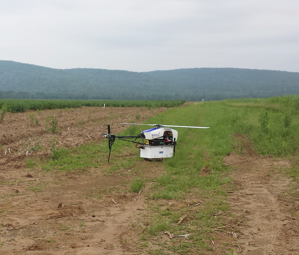
At the advanced research facility funded by the Canada Foundation for Innovation and the Government of Quebec, researchers will use various types of drones and a wide range of sensors to develop new methods and more effective operational algorithms to monitor quality, the rise in water levels, snow cover, and precision agriculture.
“Preserving water and land resources is of the utmost importance to Quebecers. The application of a new generation of space technology by Professor Chokmani and his team will increase our understanding of our precious ecosystems and will strengthen our ability to protect them,” says Gilles Patry, CFI President and CEO.

“The laboratory combines the variety and quality of the information provided by remote sensing with the flexibility of drones to fill a formerly untapped research and development niche. Collecting new data that was previously inaccessible in terms of quality and spatial and temporal characteristics will help us improve resource management, forecasting, and conservation support tools.”
Professor Chokmani, a leader in optical remote sensing at INRS
Professor Chokmani’s team will use the high-tech laboratory to study phenomena that are difficult or even impossible to monitor with conventional means and will develop space technology for environmental applications such as public safety, habitat characterization, and invasive plants detection, as well as for the forestry and mining industries. In addition to strengthening current collaborations and creating new partnerships, the laboratory will train tomorrow’s top researchers in geomatics and optical remote sensing at Centre Eau Terre Environnement de INRS.
Other articles you might be interested in

You may also like
December 1, 2016
Samir Méchaï
December 1, 2016
Emmanuelle Bouchard-Bastien
December 1, 2016
Marilyne Chicoine