
Project description
Why these projects matter
Dams, levees, bridges and tunnels are among the most critical infrastructure in our societies. Yet much of their internal structure — or the geology on which they rest — remains difficult to observe directly. These two PhD projects aim to develop a new generation of seismic imaging methods grounded in wave physics, combining numerical modelling, inverse problems and advanced signal processing. The goal is to produce much more detailed 2D and 3D images of the subsurface to better characterize and monitor critical infrastructure. The methods developed will be tested on real datasets provided by our partners and designed for transfer to practice.
Project 1: Seismic imaging for dam and levee monitoring
Dams and levees are critical infrastructure whose safety depends on our ability to detect and characterize sometimes subtle changes in their internal state. As a PhD candidate, you will develop new methods that make fuller use of the information contained in seismic waves to image dams and levees at a resolution beyond that of conventional approaches.
More specifically, you will:
- develop and implement Wave Equation Tomography (WET) methods combining numerical wavepropagation modelling and advanced optimization;
- extend inversion methods to realistic three-dimensional geometries in order to represent the complex structure of dams and levees;
- test the algorithms on controlled numerical models, then apply them to seismic datasets acquired on structures operated by Électricité de France (EDF);
- contribute to the development of reproducible, high-performance inversion tools, including highperformance computing and graphics processing units (GPUs). The project includes the release of open numerical tools and their transfer to project partners.
Project 2: Seeing beneath rivers with 3D passive seismic imaging
The design of bridges, tunnels and other major river-crossing infrastructure requires an accurate understanding of the geology beneath waterways, yet these environments are among the most difficult to investigate. This project aims to exploit a source of information that is continuously available but still largely underused: ambient seismic noise. You will develop an imaging workflow that transforms this noise into detailed three-dimensional images of the geology beneath rivers.
More specifically, you will:
- process ambient-noise recordings and use seismic interferometry to reconstruct information on wave propagation between sensors;
- develop an approach combining seismic interferometry, frequency-domain analysis of surface waves and wave-equation inversion to produce high-resolution 3D subsurface models;
- work on fundamental problems involving wave propagation, signal processing, optimization, scientific computing and three-dimensional imaging;
- compare passive-imaging results with active seismic, borehole and geotechnical data to quantitatively assess the quality of the resulting models;
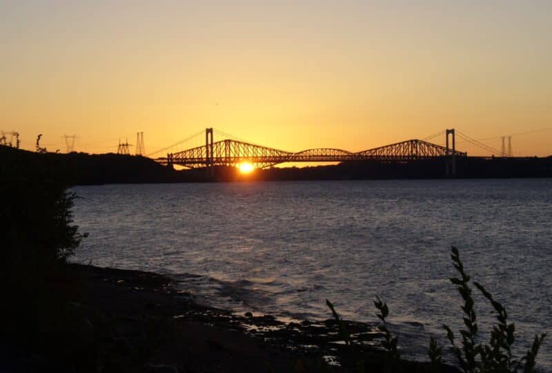
- work with an exceptional dataset acquired in the St. Lawrence River as part of a project led by the Québec Ministry of Transport and Sustainable Mobility (MTMD).
An international network, unique datasets, engaged partners
Both PhD projects are part of a collaborative research networkbringing together Polytechnique Montréal, INRS, Université Grenoble Alpes (UGA), EDF, MTMD and Geostack. You will work directly with researchers, geophysicists and engineers from academia, government and industry on real engineering challenges using unique field datasets. Research stays in France, particularly at EDF and within the SEISCOPE group at UGA, will offer opportunities to collaborate with leading specialists in seismic imaging and inversion, participate in high-level scientific activities, and build a lasting international professional network.
Start date
Winter 2027 (flexible depending on availability)
Locations and study programs
Project 1: Department of Civil, Geological and Mining Engineering, Polytechnique Montréal (Montréal, Quebec, Canada)
Project 2: PhD in Earth Sciences, Eau Terre Environnement Research Centre, Institut national de la recherche scientifique (INRS) (Québec, Quebec, Canada)
Research supervision
Project 1: Gabriel Fabien-Ouellet, Polytechnique Professor
Project 2: Bernard Giroux, INRS Professor
Funding
Each project is fully funded for four years and includes financial support of CAD 30,000 per year, allowing the student to focus fully on their research. Additional opportunities are also available:
- Excellence scholarships (FRQNT, NSERC), with active support from the supervisors in preparing applications.
- Paid participation in teaching activities (course instruction or tutorials)
- Paid internships with our partners
Required qualifications
Applications from a wide range of academic backgrounds are encouraged, including geophysics, physics,
applied mathematics, scientific computing, or a related field.
Candidates should ideally have experience or a strong interest in several of the following areas:
- geotechnical engineering and rock mechanics
- physics and wave propagation
- seismic imaging or geophysical methods
- numerical modelling
- scientific programming, particularly Python, C/C++ or similar languages
To apply
Interested candidates can send their application by email to gabriel.fabien-ouellet@polymtl.ca (cc: bernard.giroux@inrs.ca)
The application package must include the following documents in one PDF file:
- Up-to-date curriculum vitae (CV)
- Official transcripts (Bachelor’s and Master’s)
- Two letters of recommendation (or contact information for two referees)
- Motivation letter (max. 1 page) describing your interests and what attracts you to this project
Applications are reviewed on a rolling basis as they are received.