- Research
-
YOU ARE
- Community member
- Future Student
- Student
- Professor
- Alumni
- Media
- Guidance counsellors
- INRS retiree
- Contact Us
- Newsroom
- Careers
- FR
-
Studies
We teach the next generation of researchers to develop scientific, social, and technological innovations.
-
Research
We find solutions through interdisciplinary research and industry or public and community partnerships.
-
INRS
We play an active role in Québec's economic, social, and cultural development.
More than $379,000 in funding will support the development of a new deep learning approach for processing geophysical information to enable better interpretations.

everal neural networks used in artificial intelligence have already proven highly effective for analyzing conventional photographs or videos.
Given the massive amounts of information that must be analyzed in the early stages of mining exploration, data interpretation is a considerable challenge for geologists. Professor Erwan Gloaguen of Institut national de la recherche scientifique (INRS) and his research partners decided to focus on developments in this field by adapting existing deep learning architectures to interpret data from airborne imagery and geophysics.
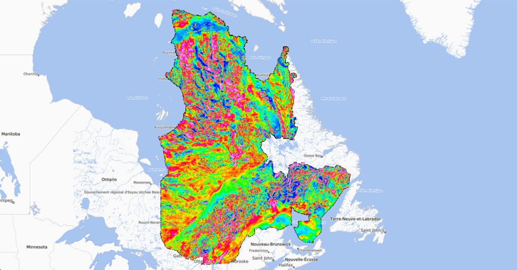
In studying vast, hard-to-access areas, geologist often have to interpret airborne geophysical data. Computer tools are invaluable for analyzing airborne images of these sites and generating a useful preliminary interpretation for geologists. Several neural networks used in artificial intelligence have already proven highly effective for analyzing conventional photographs or videos.
The project, funded by Fonds de recherche du Québec – Nature et technologies (FRQNT), in partnership with the Ministère de l’Énergie et Ressources naturelles (MERN), under its second sustainable mining partnership research program, will analyze several types of airborne image data to predict the nature of the subsoil. The algorithms generated can be used as guides to target mineral exploration sites.
Parallel neural networks
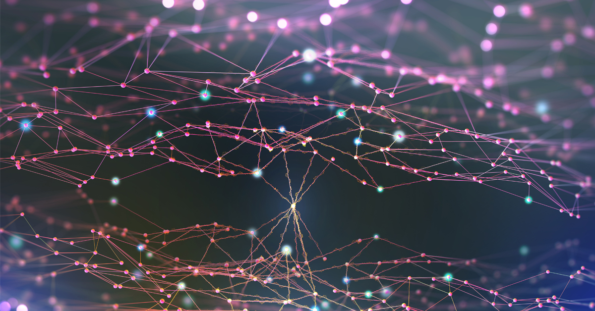
This new approach to artificial intelligence aims to train parallel neural networks, each processing one type of variable, such as magnetic or electromagnetic data. When processing is complete, a system will combine each of the network’s predictions to generate a final prediction.
Professor Gloaguen’s team is working with experts in artificial intelligence applied to mining for this network development project, the first phase of which is already underway. Team collaborators include Professors Bernard Giroux et Pierre-Simon Ross at INRS, Martin Blouin at Geolearn (an INRS startup), Jean-Philippe Paiement at Mira Geoscience, Guy Desharnais at Osisko Gold Royalties, and Antoine Caté at SRK. The team will use data from these partners and from SIGÉOM, Quebec’s geomining information platform.

Postdoctoral researcher Mojtaba Bavand Savadkoohi, in the team of Professor Gloaguen, is currently working on a neural network that can alter data layers to a reasonable common resolution. “This will allow us to use satellite, aircraft, and helicopter images. Carefully upgrading them in higher resolution is essential, since the data isn’t standardized,” explains Professor Gloaguen.
In the second year of the project, the team will build a deep network architecture and train it to recognize geophysical data, a step that will take several months. In the third year, the team will assess the potential for generalizing the algorithm. “We’ll be testing the system to see if it can be generalized to all of Quebec or if it will need to undergo a learning phase for each geological region,” says Professor Gloaguen.
You may also like

March 29, 2022
Sustainable geonergy systems
March 29, 2022
International internship in forest or coastal scienceShare

