- Research
INRS team officially launches new version of IceMAP-R algorithm.
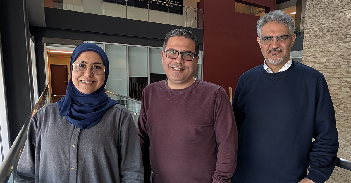
De gauche à droite : Chayma Chaabani, postdoctoral fellow at INRS’s and professors Karem Chokmani and Saeid Homayouni
Institut national de la recherche scientifique (INRS) is proud to announce the operational release of the new version of the IceMAP-R algorithm developed under the supervision of Professor Karem Chokmani, a remote sensing and hydrology specialist at INRS. This project, carried out in partnership with Ministère de la Sécurité publique (MSP), represents a major technological breakthrough in river ice monitoring.
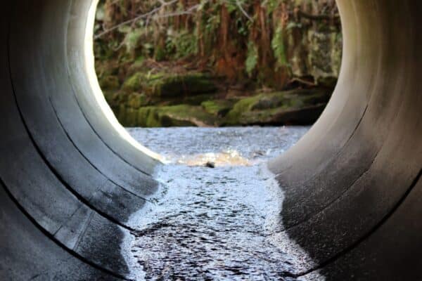
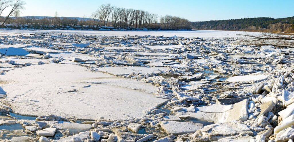
River ice is an ice formation that develops on the surface of watercourses in winter and can cause ice jams and flooding when it forms or breaks up. In Québec, it represents a major issue for public safety, infrastructure management, and navigation, especially for municipalities, civil security, and Hydro-Québec. The critical period for river ice is from December to April, with increased risk during mild spells and the spring breakup.
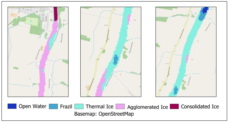
Since December 2024, MSP’s government operations centre has been using this new versionof IceMAP-R to monitor river ice in real time throughout Québec. This enhanced version now enables automatic processing of images from the RADARSAT Constellation Mission (RCM) satellite through a standalone program.

“This successful collaboration with MSP has made it possible to develop a technological solution adapted to Québec’s climate. The implementation of this standalone version of IceMAP-R is a significant step forward for citizen safety and the proactive management of ice jam risks.”
Professor Karem Chokmani, a researcher at INRS.
This system no longer relies on commercial software for data preprocessing and analysis. The entire process, including satellite image acquisition, ice chart generation and distribution, is therefore automated by MSP, ensuring greater responsiveness and reliability. The ice charts produced are also published in real time by MSP on Données Québec.
The deployment of this technology is part of a continuing joint effort by INRS and MSP to improve tools for forecasting and managing the risks associated with ice jams. The IceMAP-R algorithm has been tested in preoperational mode since 2023 on all rivers in southern Québec, validating its performance and integration into MSP’s operational systems.
“MSP now has a cutting-edge tool that is essential for anticipating flood risks and optimizing interventions in the field. This project is a perfect illustration of the effectiveness of partnerships between research institutions and government agencies in the prevention of natural hazards,” concludes Professor Chokmani.
The project also benefited from the contribution of Chayma Chaabani, a postdoctoral researcher at INRS’s Eau Terre Environnement Research Centre. She collaborated on the development of the algorithm under the supervision of professors Karem Chokmani and Saeid Homayouni.
“ Participating in the development of the IceMAP-R algorithm has been a deeply rewarding experience. This project offered me the opportunity to contribute to a concrete solution, with a direct impact on public safety in Quebec and aimed at better managing the effects of river ice evolution. ”
Chayma Chaabani, a postdoctoral researcher at INRS
You may also like
March 24, 2025
Marc-André Gauthier