- Research
Teams from INRS and IRDA are collaborating on developing a tool to assess soil cover and better protect it.

The CarTéCoS project will map soils by remote sensing for a more sustainable agriculture.
Agricultural soils in Quebec, and in the world, face numerous degradation phenomena due to both massive human activities and climate change. Several practices are used in agriculture to maintain “healthy” soils, including cover cropping.
This involves leaving crops or crop residues on the surface to cover the soil during the winter. It is recommended that 30% of the residue remains on the field after harvest to protect the soil. This physical protection helps control soil erosion, maintain sufficient organic matter and reduce the use of agricultural inputs such as fertilizers and pesticides.
Professor Saeid Homayouni, from the Institut national de la recherche scientifique (INRS), and Professor Aubert Michaud, researcher and scientist at the Research and Development Institute for th Agri-environment (IRDA), are co-directing the CarTéCoS project: “Cartographie par télédétection de la couverture du sol“, which aims to develop an automated tool for detailed land cover mapping using remote sensing. The project will be deployed in various agricultural regions of Quebec, including Estrie, Chaudière-Appalaches and Montérégie.
The objective? To better understand the spatial distribution of these land covers, which are essential for the sustainable management of natural resources for the actors of the agricultural world.
“This project is a true partnership effort between agronomists, agronomy scientists and remote sensing specialists in the context of sustainable agriculture development in Quebec.”
Saeid Homayouni, who specializes in remote sensing and environmental geomatics.
This project has received $350,000 in funding from the Ministère de l’Agriculture, des Pêcheries et de l’Alimentation (MAPAQ) as part of the Prime-Vert program, for a three-year period. This program aims to increase the adoption of agri-environmental practices by agricultural enterprises to contribute to improving the quality of the environment and human health.
Collecting multiple data to observe on a larger scale
The mapping will be based on multi-temporal and multi-source data collected with optical and radar sensors. It will also use innovative approaches based on artificial intelligence and modelling.
This large-scale analysis aims to merge data from different types of sensors and process them in various ways. Using the Google Earth Engine cloud-computing platform will allow the mapping of large areas.
Data collection will be done on three levels: agronomists and research teams will use a GPS-equipped cell phone to detect vegetation cover over a distance of about one meter. Simultaneously, a drone equipped with a multispectral camera will capture images over a distance of about 50 meters at altitude. Finally, satellite data will be collected.
“The data collected will then be used to calibrate the information on a larger scale. Our window of action is short: three weeks before winter and another three before the beginning of spring,” explains Professor Homayouni.
An accessible tool for all
Eventually, the tool developed will use different sources of satellite remote sensing data that will be made available to the public, including optical and radar images from European constellations and optical and thermal images acquired in spring and fall. All this to produce high-resolution maps.
“Our desire behind this project is that agronomists and agricultural workers can use this tool to be advised and guided in the preparation and maintenance of soils for sustainable agriculture,” concludes Professor Homayouni.
The project team works closely with and benefits from the field expertise of the agri-environmental advisory and service clubs: Le Gestrie-Sol in Grandby (Estrie), Le Groupe Conseil in Bellechasse, OptiConseils in Montérégie, and Fédération de l’UPA de la Montérégie.
We suggest you to read

You may also like
November 22, 2021
Marc-André Gauthier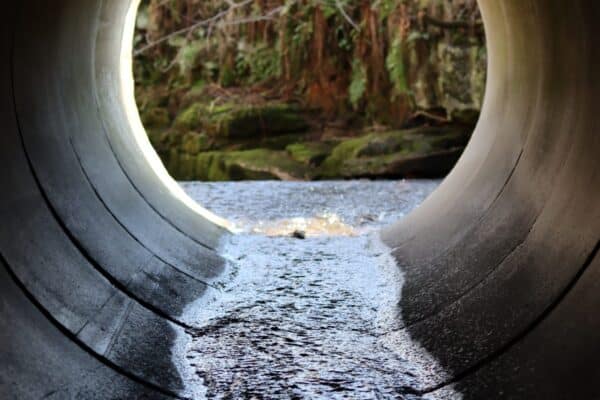
November 22, 2021
Innovative methods for improving fish passage through culverts
November 22, 2021
Modelling the effect of mine pit dewatering on salmon habitat