

Normand Bergeron
River fish ecology and hydrogeomorphology
We teach the next generation of researchers to develop scientific, social, and technological innovations.
We find solutions through interdisciplinary research and industry or public and community partnerships.
We play an active role in Québec's economic, social, and cultural development.
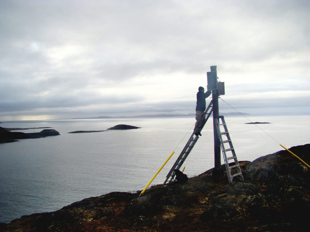
Earth observation and the use of artificial intelligence for environmental purposes is a rapidly expanding field at INRS. Hyperspectral and multispectral remote sensing by drone, which is increasingly used in precision agriculture, as well as geomatics, which offers better characterization of Atlantic salmon habitats, are just some examples. As for massive data, high-performance cloud computing, open-source technology, and artificial intelligence and machine learning (AI/ML), they are profoundly transforming the ways we observe and characterize the Earth.

Research Objectives
Researchers are developing geomatics and remote sensing tools for environmental purposes that can be applied to a wide variety of sectors (e.g. flood risk management and cyanobacteria monitoring).
In addition, technological advances, the diversification of sensors, and access to a very large amount of data are creating a greater need for new analysis and processing methods.
Consequently, partner research teams are also involved in advancing applied research. Finally, INRS continues to build on its well-established experience in Northern science.
Research Activities
River fish ecology and hydrogeomorphology

Precision agriculture

Remote sensing and hydrology
Environmental remote sensing and geomatics
Statistical hydrometeorology

Hydrological modelling

River hydrology and thermal regimes